
TomTom and Bosch are to collaborate on the development of mapping technology for highly automated driving.
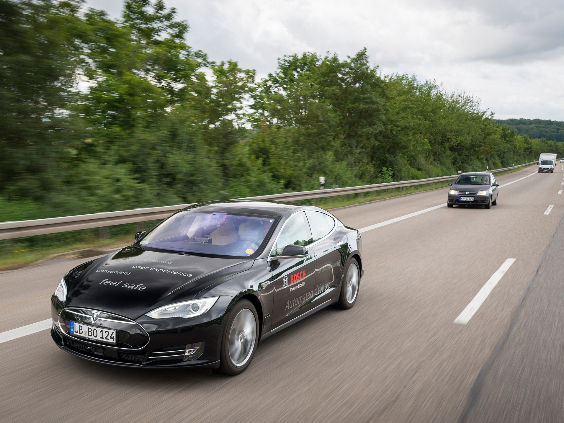
Under the agreement, TomTom is designing the maps, while Bosch is defining the specifications they have to meet. The maps are already being used in automated vehicles Bosch is testing on certain public roads in Germany (A81) and in the United States (I280).
Maps for highly automated driving differ primarily from those used in current navigation systems in two respects. Firstly, accuracy is significantly higher - down to decimetre precision. Secondly, the map material required for highly automated driving consists of multiple layers.
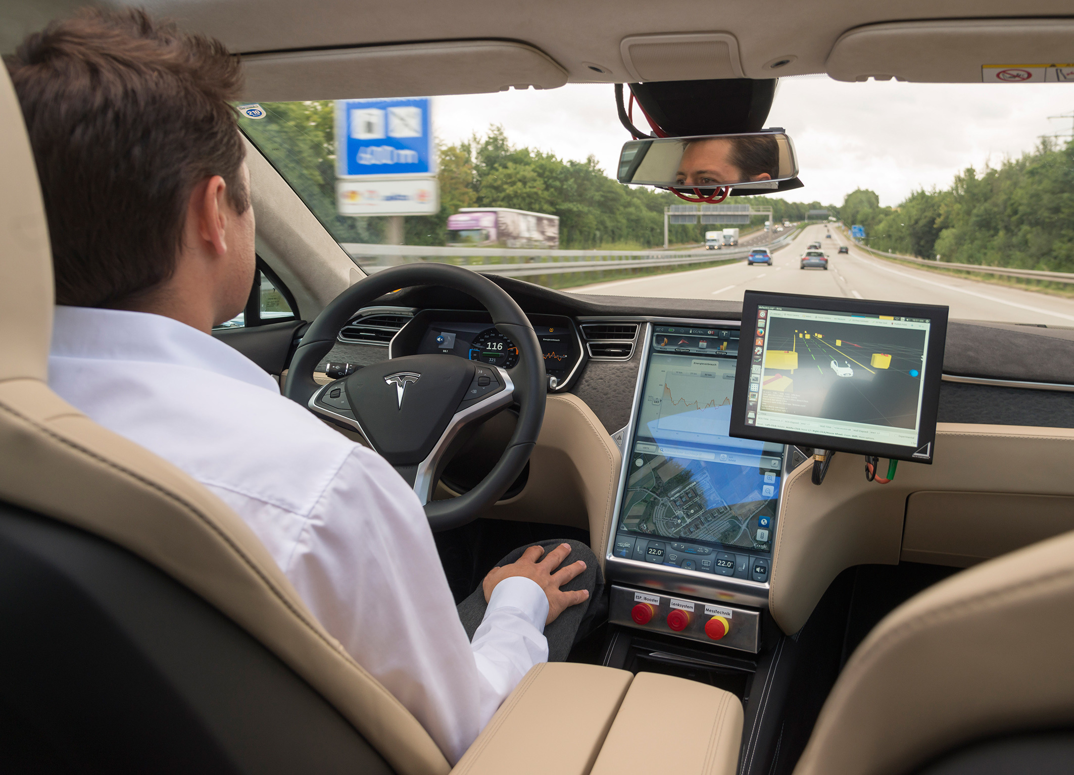
The traditional base navigation layer is used to calculate routes from A to B, including the sequence of roads to be driven. The localisation layer uses a novel positioning concept providing highly accurate map data, which the automated vehicle uses to accurately calculate its position within a lane. To do this, the vehicle compares its sensed environment with the corresponding information in the localisation layer. In this way, it can accurately define its position relative to the road and its surroundings. On top of the localisation layer, the planning layer contains not only attributes such as lane divider types, traffic signs, speed limits, etc., but also 3D information about road geometry, including curves and slopes. With the help of this very detailed lane information, the automated vehicle can decide things such as when and how to change lane.
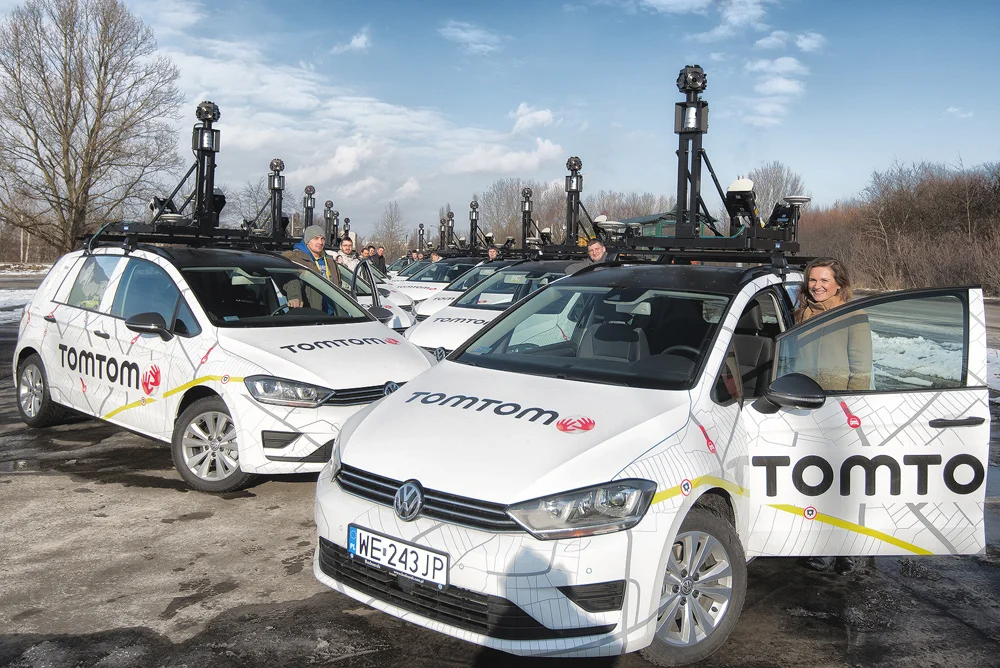
In highly automated driving, safety and comfort depend crucially on map material that is up to date. For example, up-to-the-minute speed-limit information has to be available instantly. Only then can vehicles select the best proactive driving strategy. In this regard, Bosch and TomTom rely on several elements and services to keep the map data up to date: the TomTom mapping fleet will continue to be regularly on the road, accurately mapping new roads and routes. And to register recent changes on the roads, such as changed lane configurations or new traffic signs, TomTom and Bosch plan to use feedback from fleets of vehicles equipped with the necessary sensors. Information about changed road conditions captured this way will be transferred to a server, verified, and entered in the digital map database. The updated map will then be fed back to the highly automated driving vehicle, enabling it to see effectively beyond its sensors.
Commenting on the importance of the venture, Bosch board member Dr Dirk Hoheisel said: "Only with high precision maps will automated driving on freeways be possible from 2020." And Jan Maarten de Vries, Vice President Automotive at TomTom, added: "By the end of 2015, we want to have new high-precision maps for automated driving for all freeways and freeway-like roads in Germany." Road coverage will subsequently be extended to the rest of Europe and North America.
For Bosch and TomTom, this collaboration in the area of maps for highly automated driving is an extension of an already existing partnership on Bosch's connected horizon, for which TomTom also provides dynamic map information via their real-time service backend - albeit without any localisation layer.